


09 Feb The city of Cosa
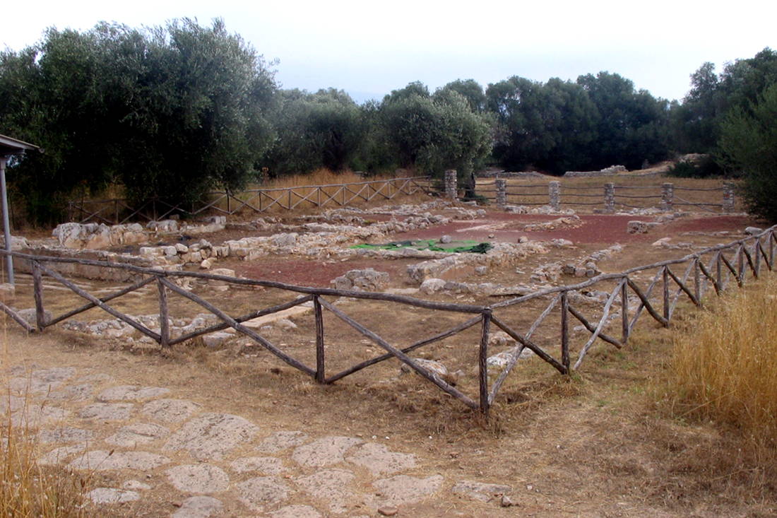
LThe city of Cosa rests on the coast of the Tyrrhenian sea on a rocky promontory where today Ansedonia is located. The city was built by the Romans in 273 b.C., after defeat of the forces of the etruscan cities of Volsinii and Vulci, in a strategic position that made it soon into an important economic and commercial hub. The city of Cosa, old open-air archeological site, visitable all year round, is one of the most inspiring attractions around Ansedonia. The area of the forum and that of the acropolis are still well visible today. At the foot of the promontory on which the the colony rested the gate of the city was built: Portus Cosanus of which you can still see remains half submerged in the sea. For those coming from Grosseto via the Aurelia the first exit for Ansedonia is recommended; the second exit for Ansedonia for those traveling towards Grosseto from Rome. Continue straight until getting over the railway bridge, then turn left. Turn left again at Via delle Mimose leaving the strada comunale di Ansedonia on your right. Turn left again at Via delle Ginestre until you meet the dirt road that takes to the parking lot of the Archeological area.
Of the original structure remain only some ruins of old buildings; the forum, the walls, and the temple of Jupiter.
The name derives from the older Cusi or Cusia, a small Etruscan center that lay in the place of today’s Orbetello.
The inhabited center was surrounded by walls, still well-preserved today, 1.5km long with three gates and 18 towers, one of which is circular.
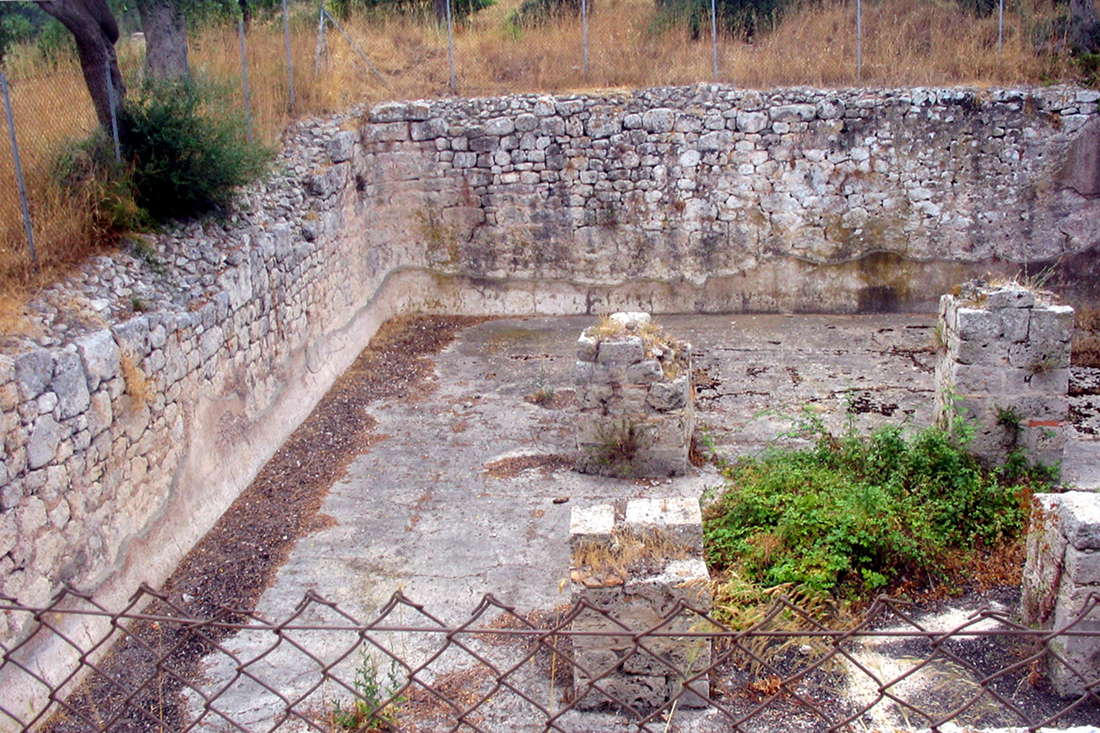
A visit to the archeological area starts from the Porta Fiorentina (northwest), through a dirt path that originally led through the part of the city with the homes of the settlers. Along the path you can rest by the skeleton house, so called for the discovery of a skeleton in the cistern, and admire the spa complex, only partially brought to light.
Continuing you meet the house of Quintus Flavius on whose original floor plan now stands the National Archeological Museum of Cosa , where the decorations from the time of the acropolis made of ceramic are well-preserved, along with objects of metal and ivory found in the houses of the old city.The Forum and the Acropolis
The forum, which was accessed through an archway of which the base is preserved, was faced by commercial buildings, Atria, the basilica of which sixteen columns remain, the complex of the Curia Comitium with the circular stairway and the prison.
The acropolis instead, having been protected by its own walls, housed the main place of worship of the city, the Capitolium. The ‘Spacco della Regina’ and the ‘Tagliata’
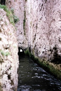 The entire area surrounding the port was equipped with imposing infrastructure, finalized with the creation of a safe shelter for boats. To avoid the burying of the port itself and the lake behind it the force of the currents of a runoff of the lake and a natural crack in the rock, called the ‘Spacco della Regina’ were used.
Later the ‘Spacco della Regina’ was substituted by an artificial construction, today named the ‘Tagliata’, a canal dug out of the rock around 80 meters long. The flow of water was regulated through wooden bulkheads, in a way so that the current would sweep away debris.
This magnificent work of hydraulic engineering can still be admired today, from the stairway that runs along the promontory.How to get to the city of Cosa
May also be interested ...
 Monte Argentario
Un monte tra terra e mare
Il fascino della Maremma si respira a pieni polmoni, a Monte Argentario.
Il promontorio che guarda da vicino l’Isola d...
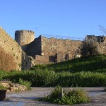 Una vacanza a Scarlino per conoscere la sua storia Connubio perfetto tra bellezze architettoniche e naturali, qui potrete trascorre alcuni giorni di vacanza in completo relax alla scoperta di un territ...
 Le eccellenze della Maremma in mostra La Maremma grossetana esce dai propri confini e si mette in mostra. Dal 2 al 7 giugno al Fuori Expo sarà infatti protagonista con degustazioni, show ...
 Spiaggia di Baratti
Il Parco di Rimigliano
Siamo nel territorio comunale di Piombino, nel cuore della Costa degli Etruschi. Da Baratti si estende il Parco naturale di ...
 Noleggio barca per l’isola del Giglio Un giro in barca alla scoperta di spiagge e calette note e meno note, luoghi affascinanti e di incredibile bellezza dove vivere emozioni indimenticabi...
 Bogenschiessen
Präzision und Konzentration
Dieser alte Sport erfordert Konzentration, Zuverlässigkeit und Genauigkeit. Für diejenige, die diesen Sport lieben,...
 Cala Martina
Sui passi di Garibaldi
Nel 1849 da questa spiaggia Garibaldi partì fuggendo dai soldati dello Stato Pontificio e continuò il suo viaggio per lâ€...
 La Strada del Vino Monteregio di Massa Marittima Il territorio del Monteregio comprende l'area delle Colline Metallifere dell'Alta Maremma Grossetana, composto dai Comuni di Massa Marittima, Monterot...