


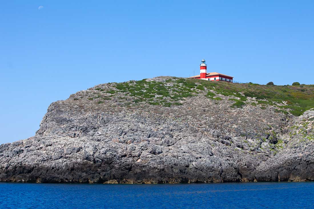
12 Jan Giannutri
The crescent shaped island in the tyrrhenian sea
Giannutri Island is the southernmost of the Tuscan Archipelago and is part of the Municipality of Giglio Island, from this about 8 miles south far away. About six miles separate Giannutri from Porto Santo Stefano. This 3 km long and over 500 meters wide half-moon shaped island is characterized by four rocky peaks (Poggio del Capelrosso, Monte Mario, Monte Adami and Poggio del Cannone) and rugged coastline, with numerous bays and coves.
Giannutri beaches
Two tiny stone beaches are on this island: Cala dello Spalmatoio on the northeast side and Cala Maestra on the northwest side. The wild nature has remained virtually intact through the centuries. For long times was uninhabited, except during the Roman Empire when in the 2nd century BC was built near Cala Maestra an harbor and a superlative villa. The entire island is a nature reserve where there aren’t hotels and camping is prohibited. Mediterranean scrub and oak forests are chosen by several species of migratory nesting birds. Giannutri is also known as the “island of the gulls” for the numerous yellowlegged gulls (Larus michahellis) which nest here. The crystal clear waters of the Giannutri represents a Marine Reserve to protect sponges, corals and many marine plants which cover the sea bottoms and to facilitate fish restocking.
How to get to Giannutri
A visit on the island of Giannutri is it possible with a mini cruise departing from the nearby port of Castiglione della Pescaia. For further details please contact the tourist information office – IAT of Castiglione della Pescaia- +39 0564 933678. Giannutri is accessible by a daily boat from Porto Santo Stefano and Porto Giglio.
May also be interested ...
 Mieten Sie ein Boot, um Pianosa zu entdecken Die flache Insel ist eines der sieben Wunder der toskanischen Küste und kann mit unserer Enjoy One mit Skipper an Bord besucht werden. Das ist die be...
 MaremmArtExpò a Sorano Al via il prossimo 24 aprile, alle 17, la quarta edizione di MaremmArtExpò, la mostra d'arte contemporanea organizzata dall'associazione Agaf di Gros...
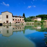 Bagno Vignoni
The town of Bagno Vignoni lies in the heart of Tuscany inside the Artistic Natural Park of Val D'Orcia. It's a place out of time, a remnant of th...
Bagno Vignoni
The town of Bagno Vignoni lies in the heart of Tuscany inside the Artistic Natural Park of Val D'Orcia. It's a place out of time, a remnant of th... Palio Marinaro dell’Argentario 75° edizione PORTO SANTO STEFANO – Entra nel vivo la sera di venerdì 12 agosto l’atmosfera del 75° Palio Marinaro dell’Argentario. I giorni più “caldi...
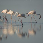 Diaccia Botrona: 10 anni di censimenti Un censimento generale per festeggiare i 10 anni di censimenti sugli uccelli che nidificano nella riserva palustre della Diaccia Botrona, tesoro della...
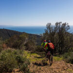 By bike to make your holiday perfect The ideal sport for whoever wants to experience unforgettable moments and discover the varied and spectacular landscapes of the Tuscan Maremma from a ...
 Campi di tiro in Maremma DI SEGUITO L'ELENCO DEI MIGLIORI CAMPI DI TIRO DELLA MAREMMA
Compagnia 09LEON, località Fosso al Leccione, 58020 Scarlino (GR) http://09leon.w...
Campi di tiro in Maremma DI SEGUITO L'ELENCO DEI MIGLIORI CAMPI DI TIRO DELLA MAREMMA
Compagnia 09LEON, località Fosso al Leccione, 58020 Scarlino (GR) http://09leon.w...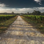 Road of wine and flavors of the hills of Maremma This road unravels along the western part of the province of Grosseto and comprises the communities of capalbio, Orbetello, Isola del Giglio, Magliano...